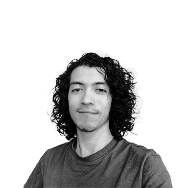
David Andrés Ramírez González
Geospatial Analyst
As a Geospatial Analyst at Confluvio, I support hydrographic and environmental projects through spatial data processing, elevation‑based hydrological analysis, quality control, and data management.
My background combines agricultural and civil engineering with geomatics, with a solid foundation in Python‑based workflows, ArcGIS, QGIS, satellite imagery, and environmental applications. I have experience in automation and remote‑sensing applications for precision agriculture, multitemporal vegetation analysis, river mapping, and water‑availability assessments.
I am particularly interested in water resources, precision agriculture, and geospatial development. My work is centered on transforming spatial data into reliable information and practical solutions that support better decision‑making.


More team members

Günther Grill

Eisinhower Rincon Vargas

Guia M. Mortel

Tejasvi Hora

Bernhard Lehner
Interested in joining Confluvio?
We are constantly looking to expand our pool of talented GIS developers and analysts