Global Inland Waters - 30x30 Indicator
GBF 30×30 target for inland waters: indicator development, classification guidance, and global maps
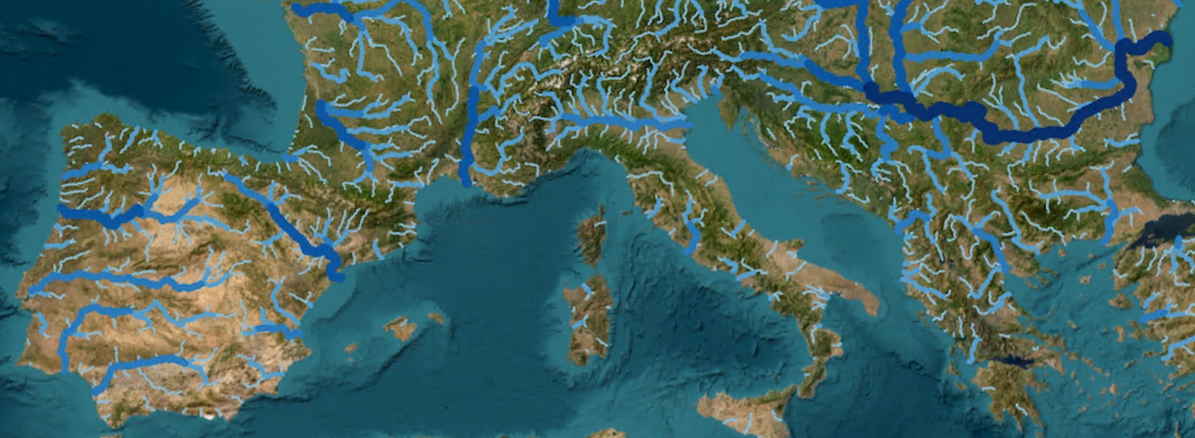
Meeting the Kunming–Montreal Global Biodiversity Framework’s 30×30 target for inland waters depends on a credible baseline and a way to track change over time. Protected Planet—including the World Database on Protected Areas (WDPA) and the World Database on OECMs (WD-OECM) —was reaffirmed at CBD COP15 as the indicator for protected and conserved area coverage through 2030, but the usual approach only reports how much inland water lies inside those areas, not whether that coverage meaningfully reflects wetland diversity or quality. This project develops and tests an improved methodology for measuring 30×30 progress on inland waters globally and at country scale—going beyond a simple spatial overlay.
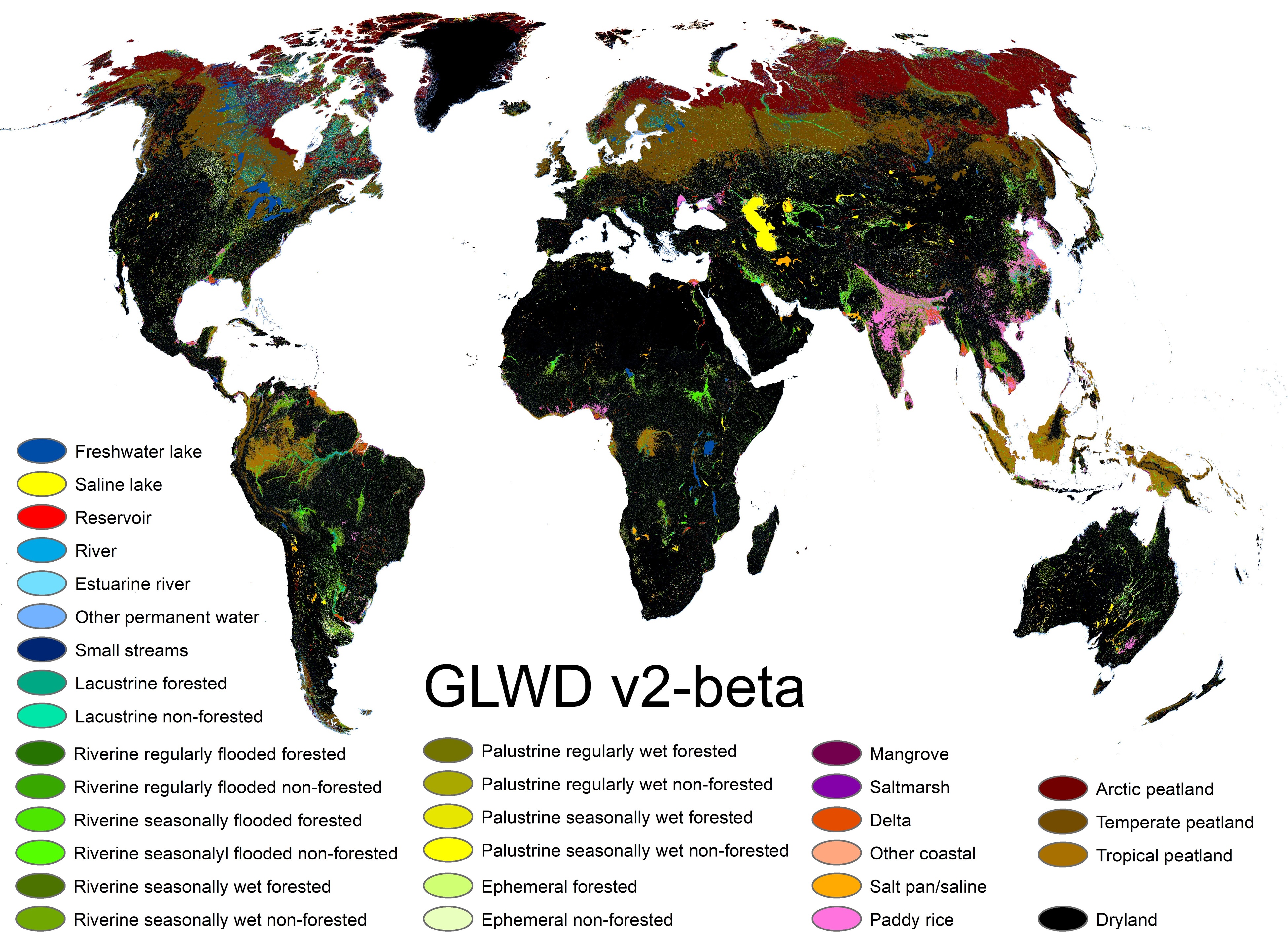
The work produced three concrete outputs. First, an understanding of the best available global datasets for inland water extent, with technical specs, rationale, and links or references. Second, recommendations on how to classify inland waters for representation within protected and conserved areas, drawing on a subset of those datasets. Third, an initial version of Global Lakes and Wetlands Database version 2 (GLWD v2) in standard GIS form: 63 fifteen–arc-second grids—per-class and combined wetland extent as percent of cell and as hectares per cell, plus a dominant-class layer—supporting consistent, repeatable analysis.
Together, these products give policymakers and practitioners a clearer evidence base for which data to use, how to define inland water types for reporting, and ready-to-use spatial layers for testing the approach before a fuller indicator set is defined later.

Related research and links